of remote-sensing research at the University of Alberta
est. 2017
 Multimedia Research Centre · Dept. of Computing Science
ROSS — Remote Observation, Sensing & System
Any sensor · Any platform · Space-borne · Airborne · Robotic
AI, signal processing and communication turn remote signals into decisions, from research to real deployments.
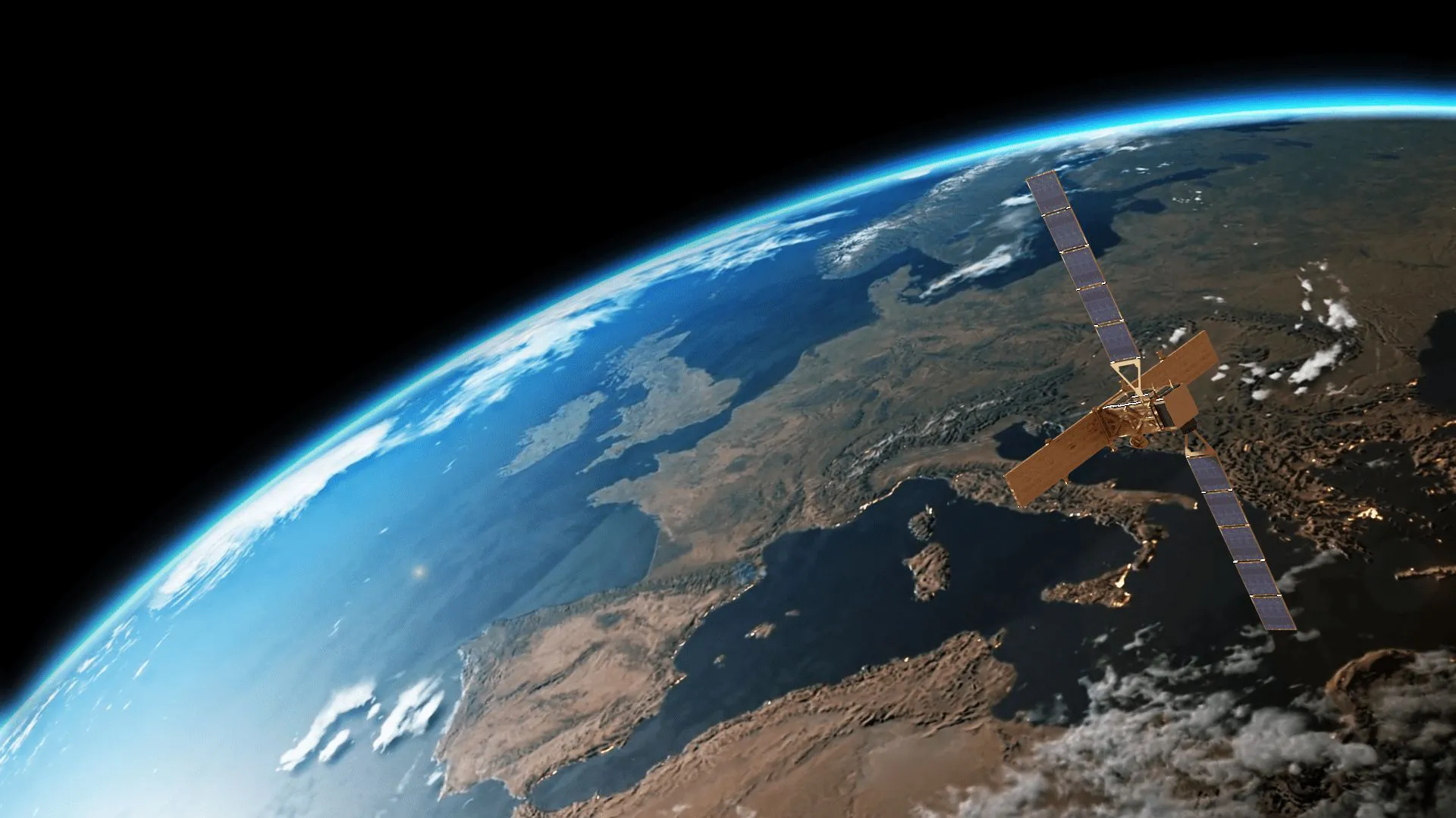
Wide-area ground monitoring from space. Satellite radar becomes trust-scored movement signals, watching roads, rail, dams, mines and critical infrastructure.
From pasture health and rice mapping to wildfire risk. AI on satellite and drone sensing in service of food, land and environment.
Multi-modal perception for platforms that sense on the move. Thermal-RGB fusion for detection and monitoring, from satellite to drone to robot.
Civilian sensing carried into defence and dual-use contexts, in two streams. Dual-use sensing on one side, and cybersecurity with blockchain-secured data systems on the other.
Carrying the group's imaging and AI lineage into medical image analysis and remote, tele-medical sensing: denoising, segmentation, multi-modal fusion, and learning from scarce labels.
Synthetic worlds that train and test sensing AI. InSAR simulators, generative scene data and edge-ready models, moving toward living digital twins of monitored environments.
The co-op Multimedia MSc starts, with industry partners from day one.
2017Wide-area ground monitoring from spaceFirst Alberta funding from CARIC: InSAR ground monitoring from space.
NSERCFrom WAMS to trust scores: a decade of InSAR with 3vGA decade of InSAR with 3vG matures into trust-scored monitoring.
2021 to 2024LiDAR and 3D reconstruction: mapping the world in pointsTwo Mitacs projects with McElhanney: LiDAR streets and digital twins.
2023At AgSmart 2023: enhancing satellite data for agricultureEnhancing satellite data for agriculture, shown at AgSmart.
2026Introducing ROSS: from space to sites to rooms, to Forward Deployment Research on signalsROSS: a dedicated R&D team for remote observation.
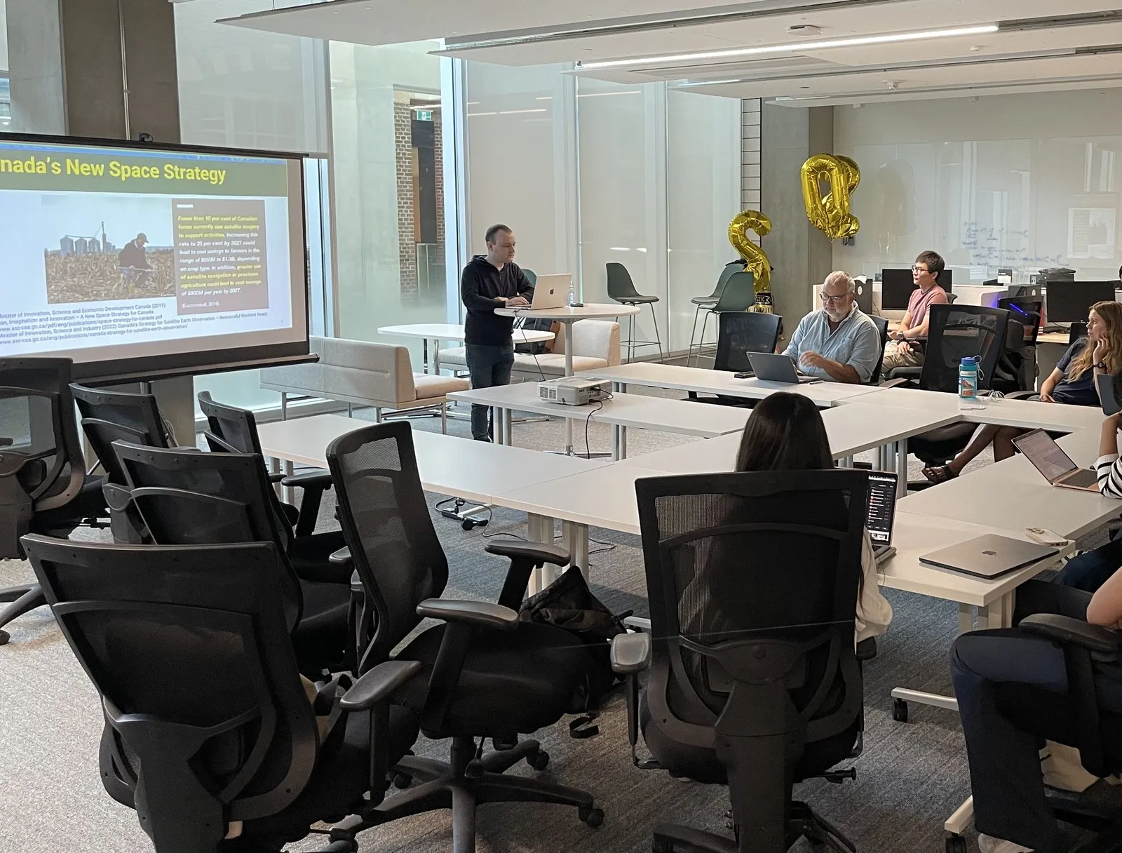
2026ROSS Club First Event: Remote Sensing in Agriculture, by Joshua BillsonThe ROSS Club launches with its first event.
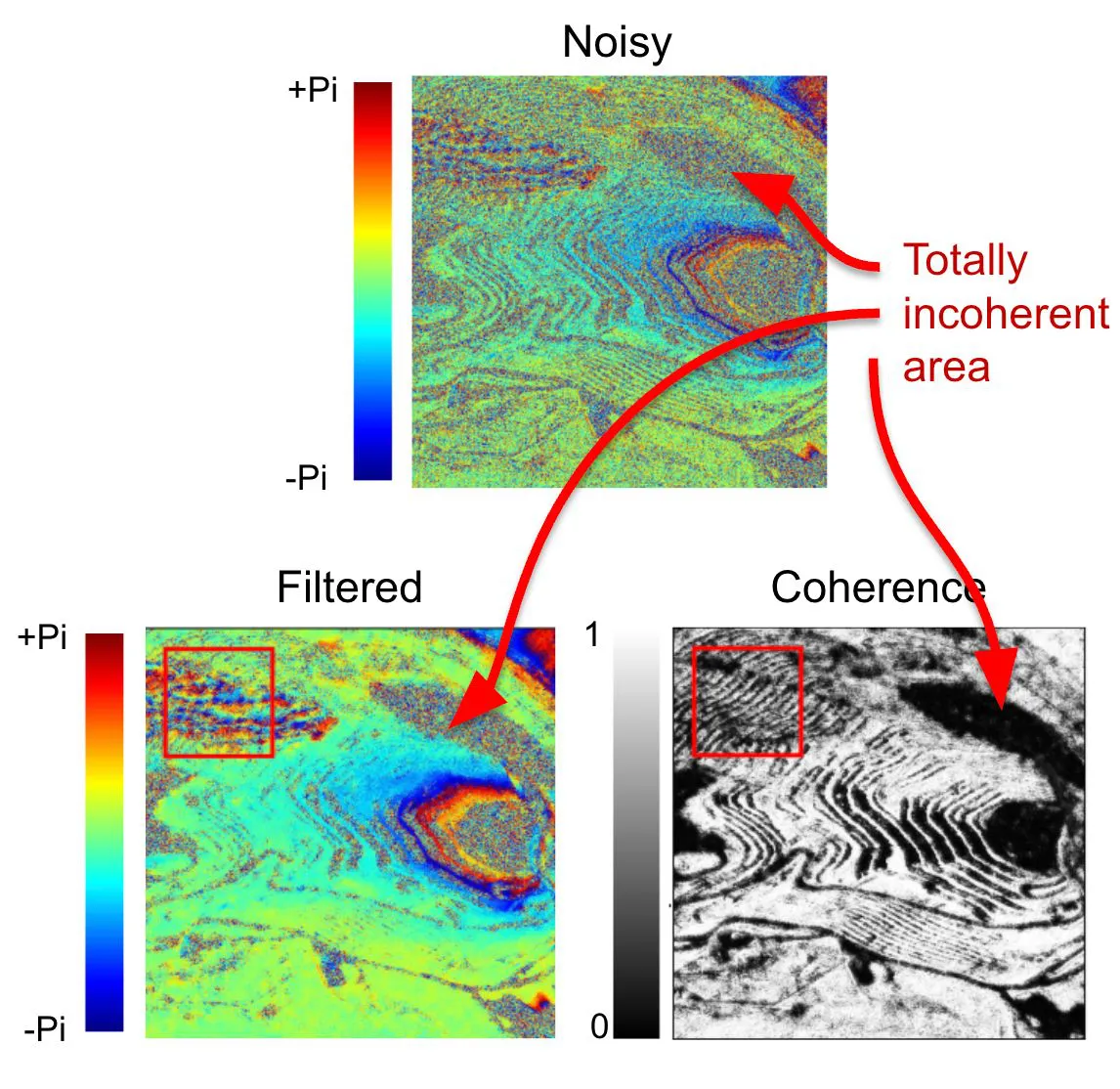
Clients don't just get a movement map: they get movement plus a 0–1 trust score for every spot. AI cleaning cut new-site turnaround from ~1 month to a single InSAR pair.
Read the case →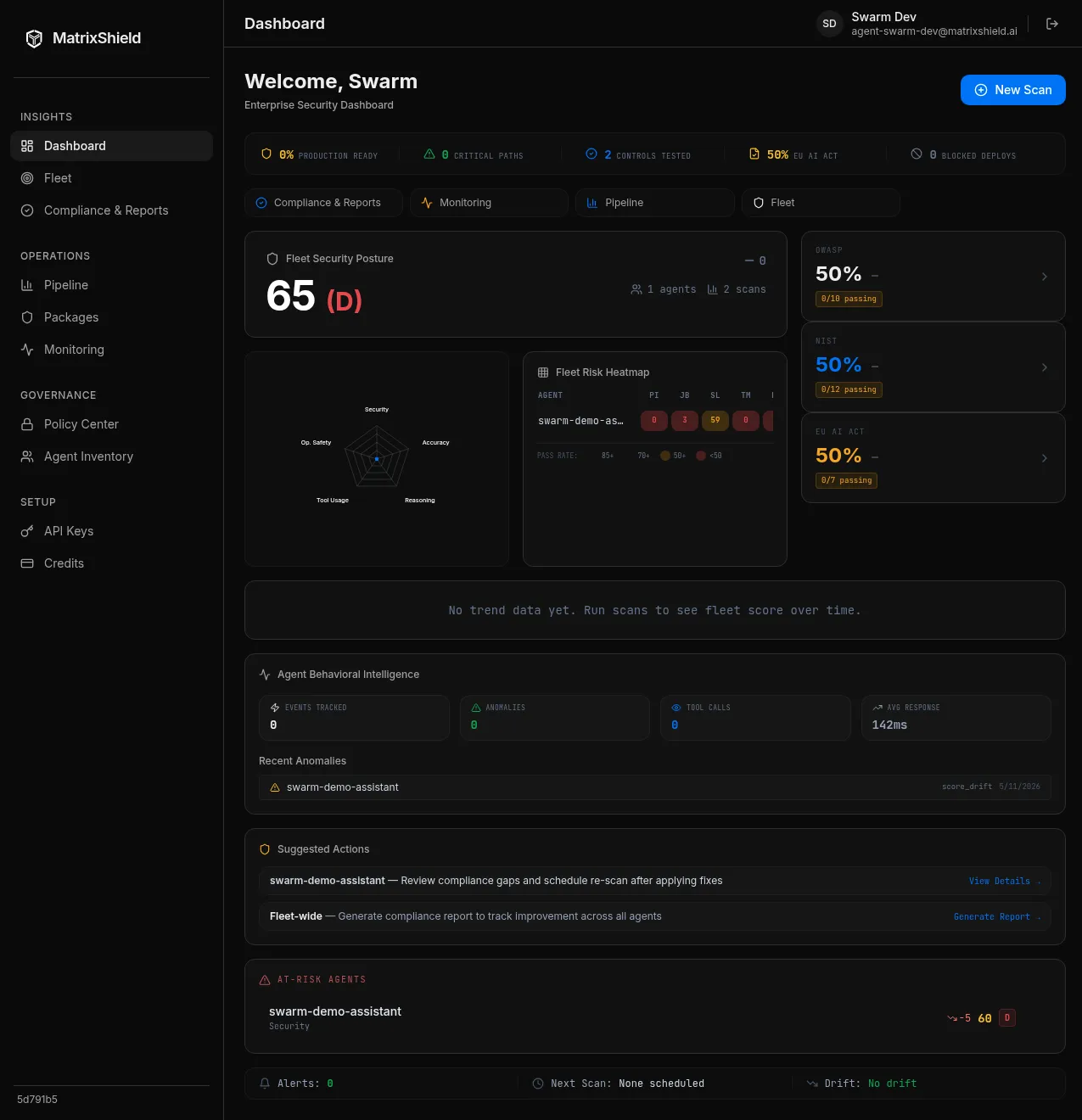
A dual-use security showcase: MatrixShield red-teams autonomous AI agents as a real adversary would, grading every response with an independent judge to turn agent risk into a board-ready 0-to-100 score. A collaboration led by Alvin (Xinyao) Sun with Matrix Labs.
Read the case →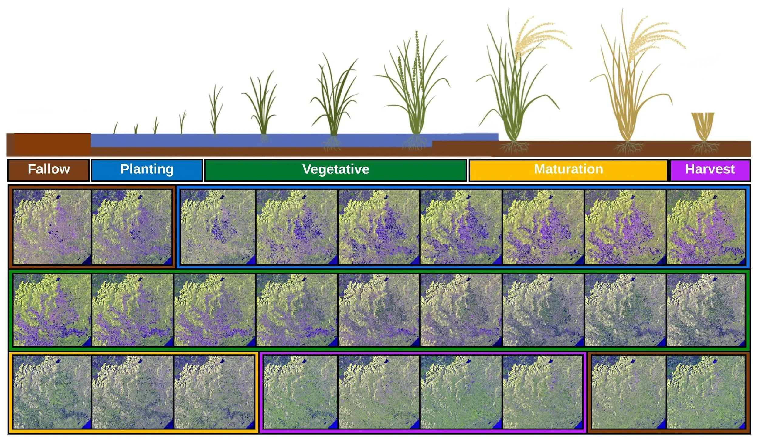
Vision transformers on multi-temporal Sentinel-1 SAR time series map rice fields across nine regions of Brazil — 42,481 km² — outperforming LSTM, TFBS, SegFormer and SETR.
Read the case →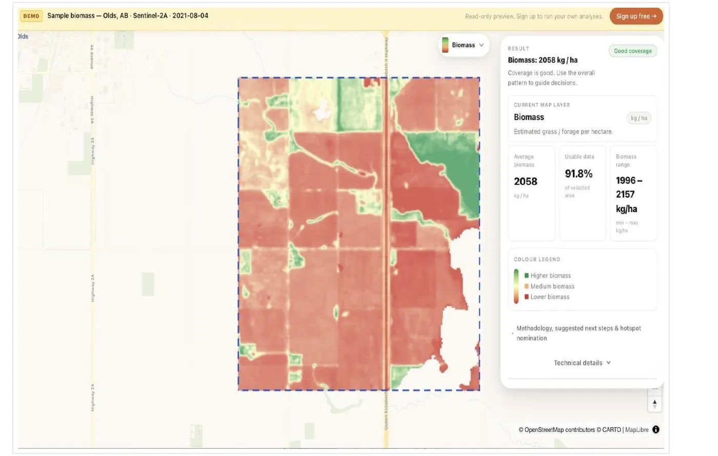
A smart remote-observation platform by MM2025 student Shuping Tan: draw an area of interest, pick an algorithm, and get a biomass, methane or marine-plastic map in minutes. Co-developed by MRC / University of Alberta and Matrix Labs.
Read the case →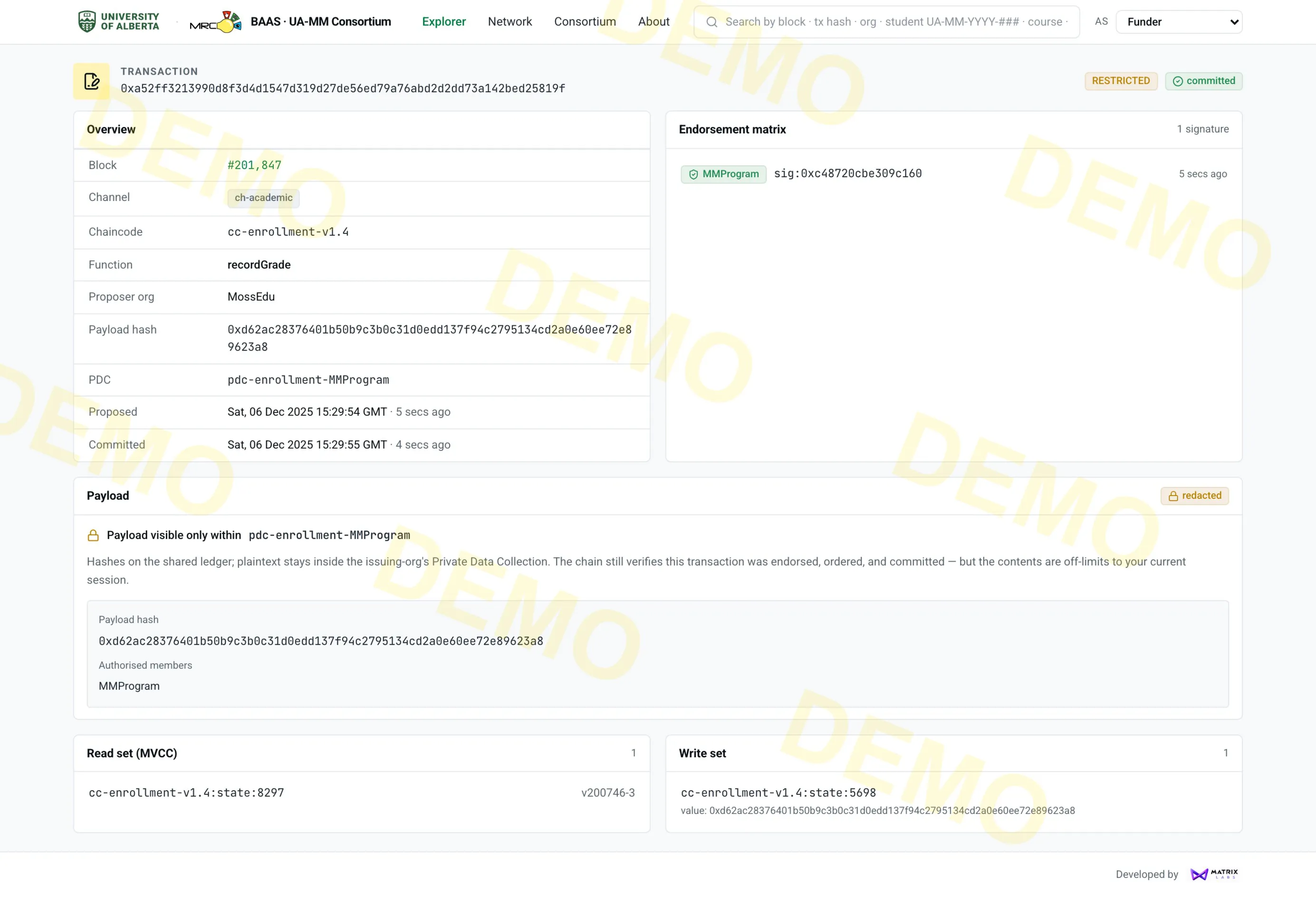
A four-organization Hyperledger Fabric consortium built with MatrixLabs for the UofA Multimedia Master's program: role-scoped portals, one-signature verification, and privacy-preserving records.
Read the case →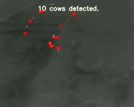
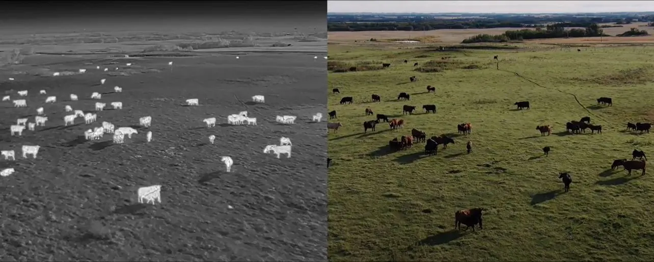
A thermal-RGB fusion pipeline detects cattle from drones in field work with LandView and Serecon, and a Three-Stream DCNN predicts cattle weight from single-view images (example output 294 kg).
Read the case →Short, informative reads on the ideas and methods behind the work, across every theme: from satellites to robots to the lab.