

LiDAR (light detection and ranging) measures distance by timing laser pulses as they bounce back from a surface. Sweep the beam across a scene and the returns stack into a point cloud: millions of (x, y, z) coordinates that reconstruct the world in three dimensions, without anyone setting foot on the site.
The group works across the three ways to carry the sensor:
- Airborne laser scanning (ALS) flies the sensor on a plane or drone for wide-area, top-down coverage of terrain and forest canopy.
- Terrestrial laser scanning (TLS) fixes the scanner on the ground to capture precise (x, y, z) coordinates of a structure or streetscape.
- Mobile laser scanning (MLS) mounts it on a moving vehicle to survey corridors, roads and rail at speed.
Fused together, these give a 3D record that optical imagery alone cannot: depth, structure and geometry, captured day or night, independent of lighting.
Urban planning and engineering
With McElhanney in Vancouver, the group applies 3D reconstruction to urban planning and engineering. A city block is captured as a dense point cloud, then paired with optical street-view imagery of the same scene, so planners can measure geometry from the points and read context from the photograph.
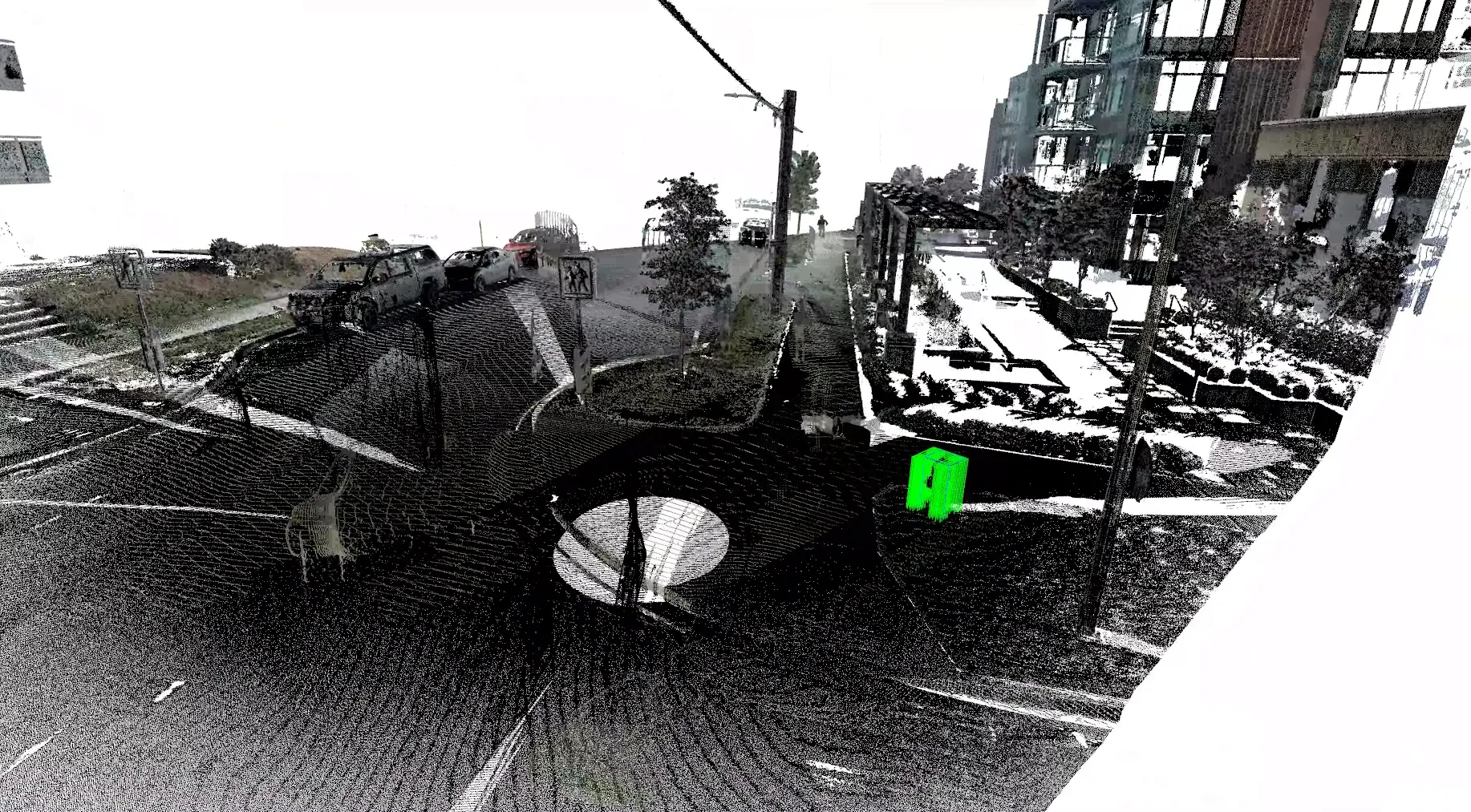
A city block reconstructed as a dense 3D point cloud. Courtesy McElhanney.
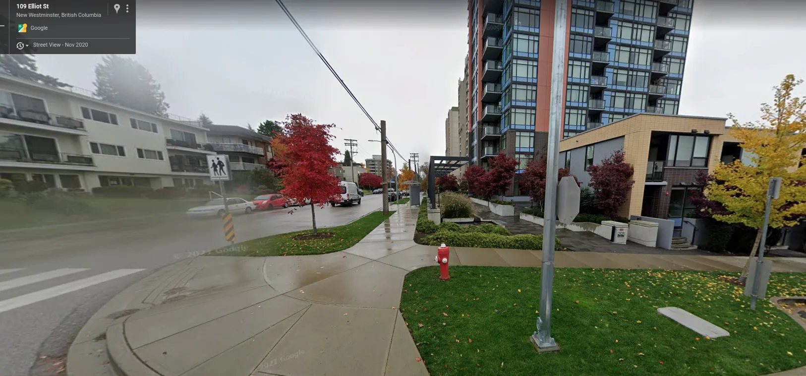
The same scene in optical street view. The point cloud gives measurable geometry; the photograph gives human-readable context. Courtesy McElhanney.
The partnership has been funded through two Mitacs projects with McElhanney: LiDAR urban scene infrastructure asset feature extraction ($105,000, February 2021 to February 2022) and Digital Twin for Civil Engineering Design Workflow ($105,000, January 2023 to February 2024), carrying the same point-cloud pipeline from feature extraction into digital-twin design workflows.
Point clouds are the connective tissue of remote observation on the ground. The same representation feeds autonomous navigation, infrastructure inspection and digital-twin models, linking the aerial view from orbit to decisions made at street level.